
CLIENT FOCUSED. RESULTS DRIVEN.
We are an environmental consultancy established in London with specialisms in Flood
Risk Assessment, Surface Water Drainage Strategy and SuDS report.
Liska Environmental
Contact us for a quick free quote

About Us
Liska Environmental is a flood risk and environmental consulting company based in London. Our core expertise includes flood risk assessment, Outline SuDS design, GIS services plus all aspects of flood and other environmental management services.
We have been helping private and public sector clients navigate complex environmental and flood risk challenges, so they can achieve their desired objectives in the most cost effective manner.
Our highly experienced environmental consulting team helps clients navigate complex regulations and simplifies the planning approvals process.
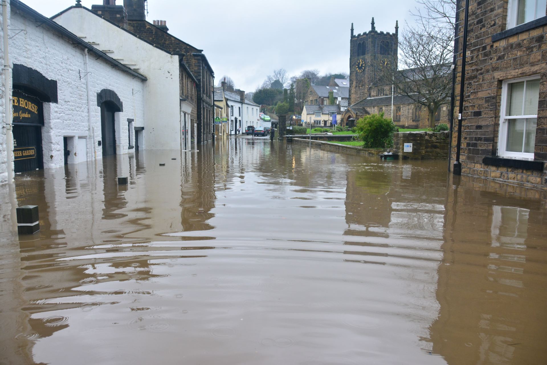
Flood Risk Assessment
Liska Environmental is a team of highly experienced flood risk consultants with more than 5 years’ experience in conducting flood risk assessments. We work closely with the Environment Agency, Natural Resources Wales, Local Planning Authorities and Lead Local Flood Authorities and provide professional report and advise to help you understand the risk of flooding of your site and property from all sources.
Our experience with managing complex floodplain management projects on some of the highest risk areas in UK means our leading experts have a profound understanding of the complexities of flood behaviour and mitigating flood risk.
What is a Flood Risk Assessment (FRA)?
A Flood Risk Assessment (FRA) identifies the level of flood risk to your property or site. This will enable you to identify the measures (if any) that are necessary to make your property or site safer. It will also enable the Local Planning Authority to assess to what extent that risk is a consideration when determining your planning application.
You need to do a flood risk assessment for most developments within a flood risk area.
This includes developments:
- in flood zone 2 or 3 including minor development and change of use
- more than 1 hectare (ha) in flood zone 1
- less than 1 ha in flood zone 1, including a change of use in development type to a more vulnerable class (for example from commercial to residential), where they could be affected by sources of flooding other than rivers and the sea (for example surface water drains, reservoirs)
- in an area within flood zone 1 which has critical drainage problems as notified by the Environment Agency
What is included in a Flood Risk Assessment?
The objectives of a FRA are to assess whether the proposed development is likely to be affected by current or future flooding from any source; whether it will increase flood risk elsewhere and whether the measures proposed to deal with these effects and risks are appropriate.
A flood risk assessment for planning applications is tailored to the exact requirements of the development. However, it will typically include these key elements:
- Review planning policy and proposed development plans for the site and consider how the site meet any requirements, advising where necessary to ensure compliance;
- Review EA online flood maps for most up to date available data on flooding (all sources);
- Review of local flood risk documents such as Strategic Flood Risk Assessment (SFRA), Surface Water Management Plan, and any relevant flood modelling and historical records.
- liaise with the applicant/architect with regard to finished floor and threshold levels, and other flood resistant building techniques
- Liaise with Environment Agency/Local Planning Authority with regard to finished floor level and SuDS measures if required.
- Identify flood risk issues and constraints associated with the proposed development within the floodplain and identify flood mitigation options.
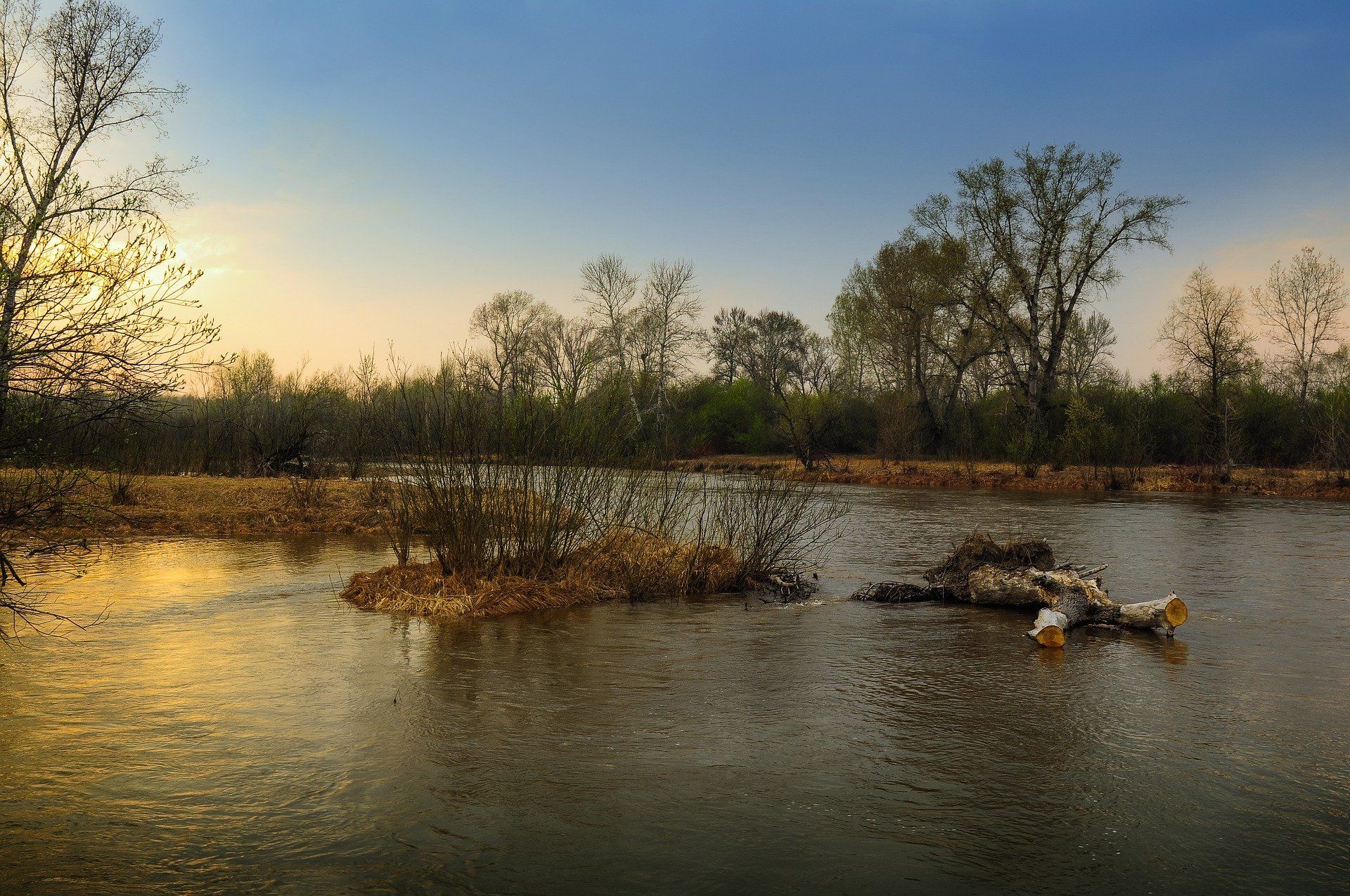
Surface Water Drainage Design
We have years of experience in surface water drainage design and operate the latest drainage design software. Our Engineers prepare design drawings and specifications tailored to your specific development needs and budget.
What is a SuDS (Sustainable Urban Drainage System) Report?
Local authorities request that surface water arising from any proposed development should be managed through the use of Sustainable Urban Drainage Systems.
A Sustainable Drainage Strategy details how surface water runoff arising from the development of a site will be managed in line with related planning policies and requirements contained in the National Planning Policy Framework (NPPF), the national Planning Practice Guidance (PPG), and Defra's National Standards for Sustainable Drainage.
What should a Sustainable Drainage Strategy include?
- A plan of the existing site
- Plans and drawings of the proposed site layout identifying the footprint of the area being drained (including all buildings, access roads and car parks)
- The existing and proposed controlled discharge rate for a 1 in 1 year event and a 1 in 100 year event (with an allowance for climate change), this should be based on the estimated greenfield runoff rate.
- The proposed storage volume (attenuation)
- Information on proposed SuDS measures with a design statement describing how the proposed measures manage surface water as close to its source as possible and follow the drainage hierarchy in the London Plan
- Details of overland flow routes for exceedance events
- A management plan for future maintenance and adoption of drainage system for the lifetime of the development.

Our Services
Liska Environmental delivers expert consultancy services on all aspects of water management to a wide range of private sector clients and industry. These services enable us to deliver invaluable advice and solutions to the planning and environmental sectors.
Our key services include:
- Planning Application and Flood Risk - we focus on providing practical affordable solutions applying the appropriate level of detail to meet the actual requirement of the relevant authorities
- Flood Risk Advise includes taking consideration of flood risk within the context of the whole land use planning system
- GIS services - which can be tailored to help capture, analyse and visualise flood risk
- Sustainable water management and application of Sustainable Drainage Systems